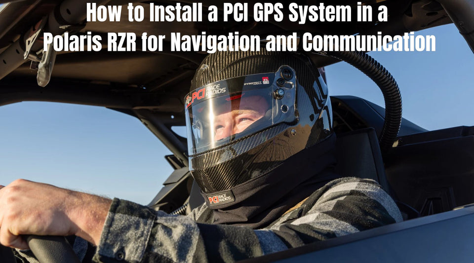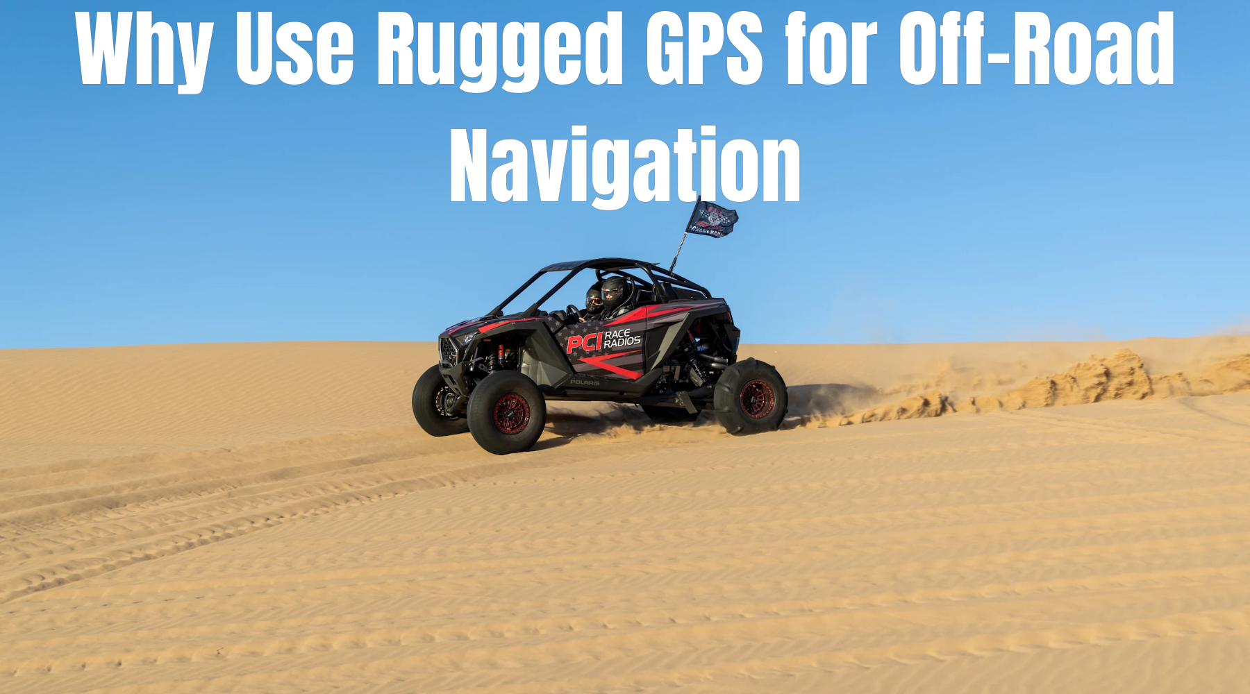
Why Use Rugged GPS for Off-Road Navigation: Case Study from Glamis Dunes
Based in Cypress, CA and serving riders nationwide, PCI Race Radios equips adventure and race vehicles with rugged GPS systems, precision mounts, and integrated comms that stay readable and reliable in the shifting sands of Glamis. In dunes where wind erases tracks and terrain changes every ride, a purpose‑built GPS is a safety net, a planning tool, and the backbone of confident group runs.
Navigating Glamis: Terrain and Trail Complexity
Glamis (Imperial Sand Dunes Recreation Area) sprawls from Gecko Road to Gordon’s Well and Buttercup, with icons like Competition Hill, Osborne Overlook, and Midway spread across miles of featureless sand. Without fixed trails, visual references disappear fast, and groups can separate within minutes in dust or wind—A rugged GPS with breadcrumbs, labeled maps, and shared waypoints turns guesswork into repeatable routes.
Shifting dunes and heat exposure
-
Wind reshapes bowls and ridgelines daily, erasing tire marks; breadcrumb logs and saved routes let riders retrace proven lines even when the terrain resets.
-
Intense glare and cabin heat demand daylight‑readable, glove‑friendly displays that don’t wash out when climbing in mid‑day sun.
Safety and route repeatability
-
Breadcrumb logging helps riders avoid blind razorbacks and soft slip faces while reliably getting back to camp.
-
Preloaded Glamis waypoints (washes, pads, restrooms, ranger stations, landmarks) speed regroups and emergency decisions.
What Makes a GPS “Rugged” for Off-Road?
Rugged GPS isn’t just “waterproof.” It must endure vibration, sand, and weather exposure—and be easy to operate with gloves at speed. Look for sealed connectors, reinforced docks, vehicle‑specific mounts, and firmware tuned for off‑road: breadcrumbs, GPX import/export, hazard notes, and team coordination.
Waterproof and dustproof design
-
IP67‑level sealing across the head unit and accessories resists dust intrusion and brief water exposure—table stakes for dune reliability.
-
Sealed mounts and protected wiring keep the system reliable from camp to bowls when wind and sand kick up.
Shock resistance and display brightness
-
High‑frequency vibration requires billet or reinforced mounts to reduce shake for readability and protect ports/harnesses.
-
Ultra‑bright 7–10 inch screens with glove‑friendly touch and/or tactile keys keep guidance legible in whoops and glare.
PCI GPS Options for Rugged Terrain
PCI curates Garmin and Lowrance off‑road GPS solutions, pairing them with tested brackets, clean wiring, antenna guidance, and practical training—so first‑timers and race teams get reliability, readability, and repeatability.
Garmin Tread
-
Tread XL Baja editions deliver satellite team tracking and messaging, GPX course imports, prerunning pacenotes, and a Baja Dock for tactile control in rough terrain.
-
Flexible refresh plans let lead and chase vehicles update positions at different intervals for efficient convoy management.
-
Shop the Garmin Tread XL Baja Series on PCI.
Lowrance Off‑Road Units
-
HDS/Elite platforms excel at breadcrumb logging with adjustable time/distance intervals for clean, precise tracks.
-
Color‑code trails, convert trails to routes, and manage overlays to reuse safe lines on known climbs and crossings.
-
Browse GPS mounting brackets compatible with Lowrance.
Map card and route sharing features
-
Glamis/ISDRA map cards label washes, pads, restrooms, ranger stations, and landmarks like Competition Hill and Osborne Overlook.
-
Share GPX files across rigs before the trip so everyone runs the same waypoints, hazards, and regroup points.
-
Explore mounting solutions and adapters.
Installation Tips for UTVs and Race Vehicles
Even the best GPS underperforms with a poor install. PCI’s model‑specific brackets and wiring practices keep screens steady, cables protected, and antennas with a clear sky view.

PCI GPS Mounts
-
Use vehicle‑specific brackets (RZR, Can‑Am, Speed UTV, and more) to place the screen in quick‑glance range without blocking controls.
-
Pair brackets with the proper RAM/billet interface to reduce micro‑vibrations and connector stress.
-
Explore GPS mounting brackets.
Wire routing through roll cages
-
Route power/antenna lines along cage tubes; protect pass‑throughs with grommets and avoid door pinch points.
-
Follow hard‑wire dock and antenna guidance to maintain stable voltage and GNSS signal under vibration.
-
Visit the PCI Help Center for GPS setup and how‑tos.
Real World Case Study: Glamis Dunes Trip
Scenario: A multi‑rig weekend based off Gecko Road, with morning runs to Comp Hill and Midway and an afternoon push toward Gordon’s Well and Buttercup.
Challenges faced by off‑roaders
-
In bowls and ridgelines, line‑of‑sight rendezvous fails; wind and dust can separate riders fast.
-
Without labeled washes and pads, detours burn fuel and daylight while backtracking to facilities or exits.
Rider feedback on PCI gear
-
With Tread XL Baja units, lead/chase rigs maintained live positions and shared pacenotes for hazards and regroups, cutting down wait time and wrong turns.
-
PCI brackets kept screens stable over whoops; breadcrumbs and shared GPX made camp‑to‑Osborne‑to‑Buttercup runs repeatable and efficient.
Using GPS for Team Coordination
Coordinated navigation is more than “where am I?”—it’s the stack of breadcrumbs, shared GPX overlays, and comms that keep the convoy fast, safe, and synchronized.
Breadcrumb trails
-
Start a new trail each session to avoid point limits and keep files tidy; tune time/distance logging for smooth lines without bloated files.
-
Display yesterday’s trail while recording a new one to visually compare and refine routes.
Linking GPS and comm systems
-
Satellite team tracking and short text messages maintain group awareness when terrain blocks VHF.
-
Pair GPS with integrated PCI intercom/radios so hazard calls and route guidance stay clear while GPS handles the macro picture.
Garmin Tread XL Baja vs. Lowrance HDS Live
|
Feature |
Garmin Tread XL Baja |
Lowrance HDS Live |
|
Team coordination |
Satellite team tracking + messaging |
Coordinate via trails/routes (no satellite team tracking) |
|
Trail/route handling |
Robust GPX, prerun pacenotes, course tools |
Powerful breadcrumbs, color‑coded trails, trail‑to‑route conversion |
|
Controls |
10" bright touchscreen + Baja Dock keys |
Bright touchscreen; strong trail visibility |
|
Durability |
Weather/dust‑sealed with off‑road docks |
Off‑road ready with solid mounting ecosystem |
Step-by-Step: Planning a PCI‑Powered Glamis Weekend
-
Before departure
-
Purchase ISDRA permits and review official rules on the Bureau of Land Management – Glamis OHV page.
-
Load Glamis map overlays and GPX waypoints to every rig; align naming and regroup points.
-
Set team tracking refresh intervals to match roles (lead vs. chase).
-
Setup at camp
-
Install PCI brackets; check sightline from harnessed seating and relieve cable stress.
-
Verify power, GNSS lock, and antenna placement; run a quick breadcrumb shakedown loop.
-
During rides
-
Start a fresh breadcrumb each session; mark hazards, pads, and restrooms.
-
Display prior trails to refine lines and reduce time‑to‑regroup.
Helpful Resources
-
Explore the Garmin Tread XL Baja Series on PCI.
-
Shop GPS mounting brackets.
-
Visit the PCI Help Center.
-
Learn about Garmin Tread Off‑Road Series.
-
Learn about Lowrance Off‑Road Navigation.
Frequently Asked Questions (FAQs):
Q: Why is a rugged GPS essential at Glamis
A: Dunes shift constantly, erasing tracks and landmarks. A rugged GPS with breadcrumbs, labeled ISDRA maps, and shared waypoints keeps riders oriented, avoids closures, and enables quick returns to camp.
Q: Do riders need permits at Glamis, and when?
A: Yes. ISDRA permits are required during the primary riding season. Purchase online or on‑site and follow posted riding rules and closures.
Q: What makes Garmin Tread XL Baja stand out?
A: Built‑in satellite team tracking and messaging, GPX course support, prerunning pacenotes, and tactile Baja Dock controls designed for rough terrain and glove use.
Q: Can Lowrance units handle breadcrumb trails well?
A: Yes. Adjust time/distance logging, color‑code trails, and convert trails to routes for clean, repeatable navigation on known lines.
Q: How should a GPS be mounted in a UTV?
A: Use vehicle‑specific PCI brackets, the correct RAM/billet interface, grommeted pass‑throughs, and manufacturer‑recommended antenna placement for stable power and signal.
Q: Are there prebuilt Glamis maps and waypoints
A: Yes. ISDRA/Glamis map cards label washes, pads, restrooms, ranger stations, and landmarks; standardize a GPX pack across the group before departure.
Q: What about communication when VHF is spotty in the dunes?
A: Satellite team tracking and short text messaging maintain positional awareness when terrain blocks VHF, complementing intercom/radio systems.
Why PCI for Rugged GPS in Dunes
From Garmin Tread XL Baja to Lowrance off‑road units, PCI delivers a complete ecosystem: the right navigator, a model‑specific bracket, clean wiring and antenna guidance, and practical training on mapping, GPX sharing, and team workflows. With deep racing roots and nationwide support from Cypress, CA, PCI helps riders turn Glamis into a confident, repeatable experience—run after run.
Call to Action
Ready to hit Glamis with confidence?
Shop the Garmin Tread XL Baja Series on PCI, add GPS mounting brackets for a rock‑solid install, and use our mounting solutions and adapters to dial in the perfect view.
For setup help and GPX resources, visit the PCI Help Center.